
Climate Change & Conservation eNews
Natural Areas

All Articles

Agriculture

Communications

Community

Economy

Natural Areas

Renewables

Take Action

Wildlife
Kestrel Land Trust acquires 161 acres of “core area” in Pelham, Mass.
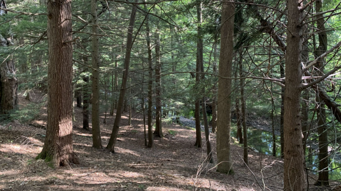
The Kestrel Land Trust and the Town of Pelham Conservation Commission have acquired a 161-acre parcel of land in Pelham, Mass., that will serve as a valuable natural asset for both people and wildlife. The Buffam Brook Community Forest, which lies within a high priority terrestrial “core area” in the Connect the Connecticut landscape conservation design, will be a publicly owned forest managed for the educational, recreational, and economic benefit of the community, thanks to collaboration with several private woodland owners.
New community forest promotes climate change resilience
The Town of Pelham Conservation Commission and Kestrel Land Trust recently announced the acquisition of 161-acres of woodlands from private owners to create the Buffam Brook Community Forest, west of the Quabbin Reservoir, the second of its kind in the State of Massachusetts. The Community Forest and Open Space Program is a United States Forest Service Grant that funds local acquisition of land to create a publicly owned forest that is managed for the educational, recreational and economic benefit of the community.
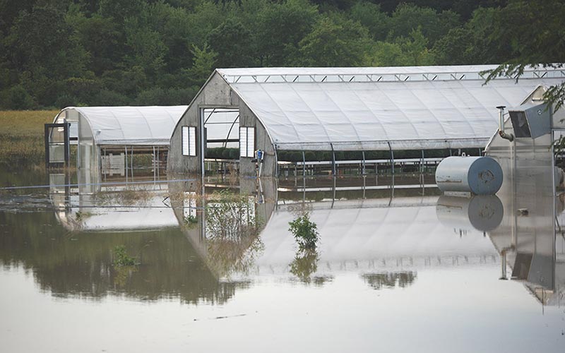
This project is the culmination of years of work between the landowners, Kestrel Land Trust and the Town of Pelham to protect this important landscape, which supports endangered species habitat, local water quality, and climate change resilience.
[Note: You can find additional information here]
Working Woodlands Program
The principle behind Working Woodlands is simple: landowners agree to manage their forests sustainably in return for conservation and management assistance with improving the value and the health of their land.
Specifically, TNC works with landowners to analyze a property’s potential as wildlife habitat and for fighting climate change. In return, participating landowners receive…
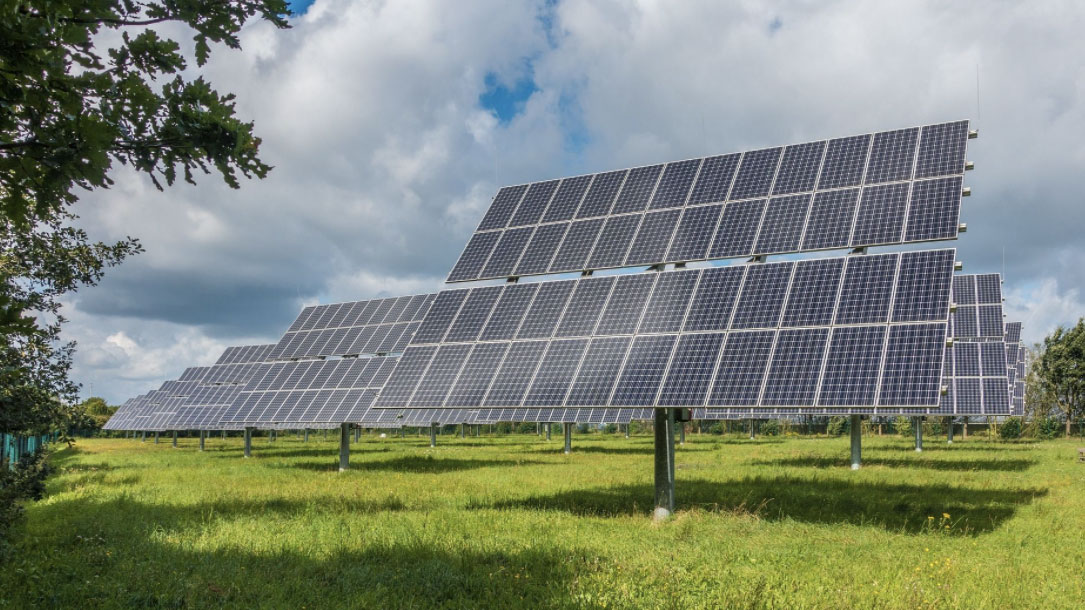
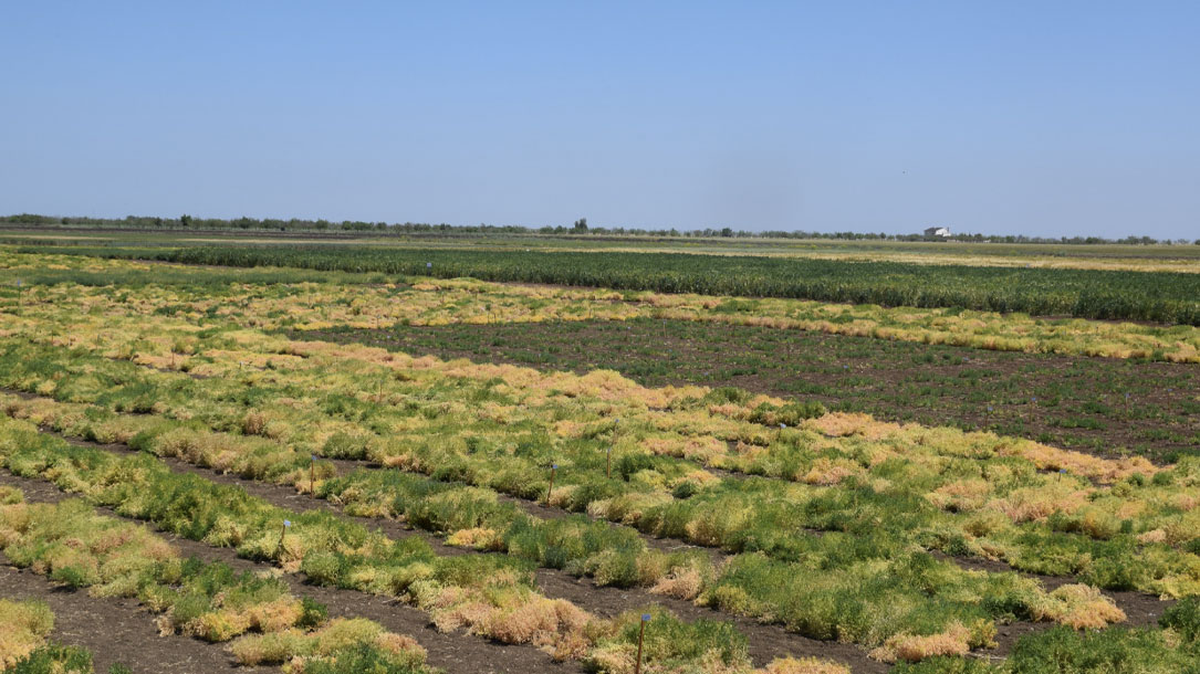
Utility-scale solar energy can be a tool for conservation, economic development
To put it plainly, these proposed projects will not destroy the natural environment nor negatively impact the watershed if they are approved and built in line with Linn County’s existing ordinance for solar energy projects. In fact, with a diverse mix of native grasses and wildflowers cultivated on-site, these proposed projects can significantly improve water quality, reduce soil erosion, and provide habitat for wildlife and pollinators, going a long way to restore Iowa’s landscape.
Furthermore, by using wildlife-style fencing instead of traditional chain link fencing, these sites can be a home for upland nesting birds such as ring-necked pheasants, quail, and other grassland birds like the dickcissel…
Cold Hollow to Canada
When a hundred community members came together in late 2008 to discuss the future of their shared landscape, no one in the room had an inkling of what might come of it…
The forest carbon cooperative: A first of its kind
Ten landowners, managing 7,500 acres of forestland in the northern Green Mountains, are part of the first forest carbon cooperative in the US. In partnership with Cold Hollow to Canada, Vermont Land Trust (VLT) has helped these landowners enroll in the voluntary carbon market and find buyers for the carbon credits.
Some businesses, individuals, and institutions buy carbon credits as a way to reduce the impact of the pollution they create. In working together, the landowners were able to spread out the costs of participating in the carbon market, which has been a barrier for owners of small woodlots…
Welcome to the Resilient Land Mapping Tool
Newly available forest carbon datasets allow conservation organizations to estimate the impact of land protection projects on carbon storage and sequestration. Step-by-step guidance walks through how to assess current and future carbon on a single property, or across an entire service area, using data that is freely available through The Nature Conservancy’s Resilient Land Mapping Tool.

Six simple steps: Evaluate the contribution of your land protection project to a low carbon future
Newly available forest carbon datasets allow conservation organizations to estimate the impact of land protection projects on carbon storage and sequestration. The Open Space Institute (OSI) developed this guide to help groups that protect and steward land determine how much carbon a forest stores today, and how much additional carbon could be sequestered by 2050.
The step-by-step guidance walks through how to assess current and future carbon on a single property, or across an entire service area, using data that is freely available through The Nature Conservancy’s Resilient Land Mapping Tool.
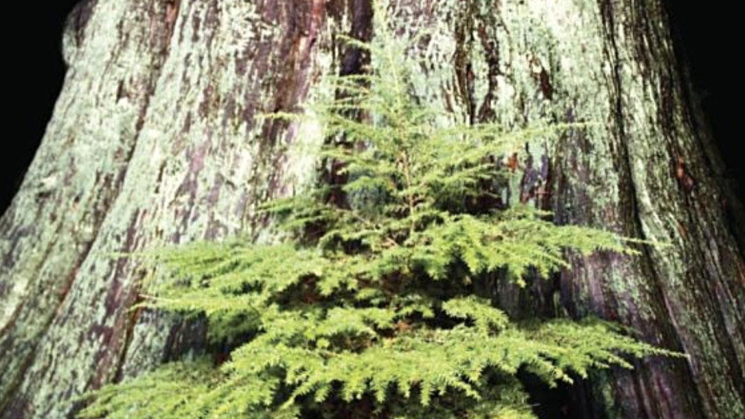
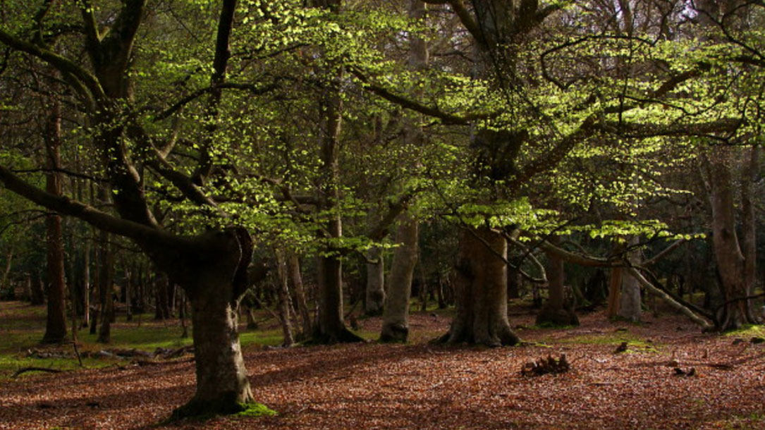
Spotlight: Suzanne Simard
Following up on the Western NY Land Conservancy’s webinar, you might want to read Dr. Simard’s book. Simard writes — in inspiring, illuminating, and accessible ways — how trees, living side by side for hundreds of years, have evolved, how they perceive one another, and how they have learned to adapt their behaviors, recognize neighbors, and remember the past…
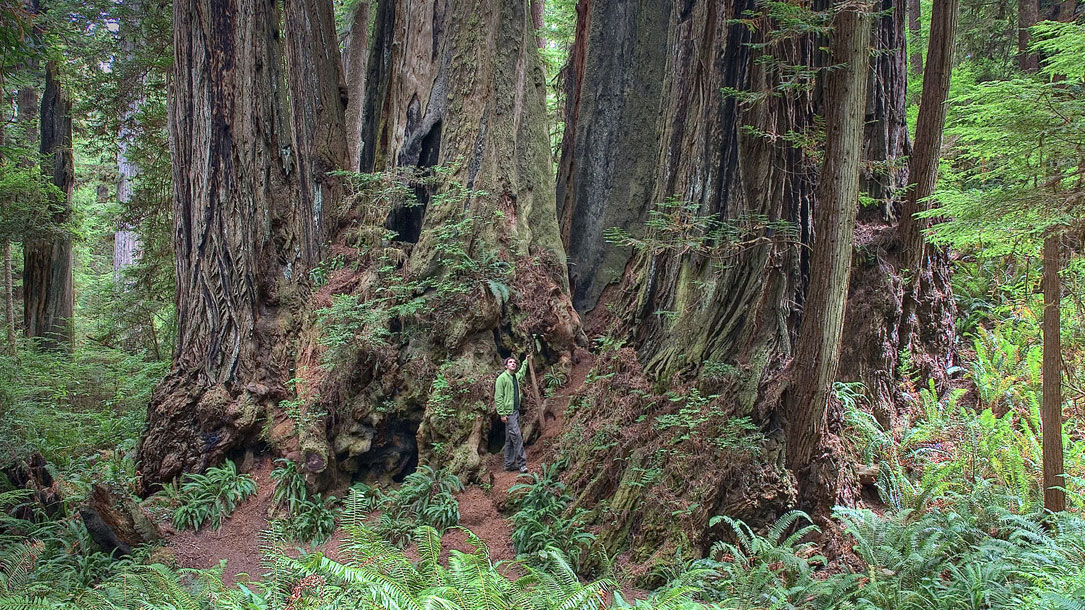
Finding the Mother Tree: An evening with Suzanne Simard
From the world’s leading forest ecologist who forever changed how people view trees and their connections to one another and to other living things in the forest — a moving, deeply personal journey of discovery.
Suzanne Simard is a pioneer on the frontier of plant communication and intelligence; she’s been compared to Rachel Carson, hailed as a scientist who conveys complex, technical ideas in a way that is dazzling and profound. Her work has influenced filmmakers (the Tree of Souls of James Cameron’s Avatar) and her TED talks have been viewed by more than 10 million people worldwide.